


NASA has released new photos of the flooded areas in the UAE caused by heavy rain last week.
The space agency described the storm system as “slow-moving” and stated that it brought an extraordinary amount of rain to the Gulf states, with some areas receiving more rainfall in a week than they typically do in an entire year.
According to the country’s meteorological department, the UAE received 6.04 billion cubic meters of rain, which is close to its annual average of 6.7 billion cubic meters.
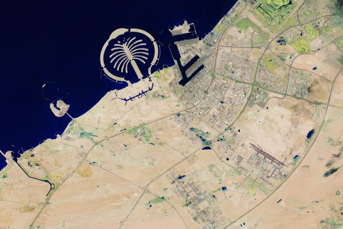
NASA’s Landsat 9 satellite captured images of the flooded regions, including Jebel Ali, which remained submerged on April 19. The satellite plays a crucial role in monitoring and managing land resources necessary for human survival.
Additionally, NASA shared a combination image on X, comparing the arid plains of the UAE on April 3 to the water-filled landscapes on April 19.
The photos revealed flooded areas along Sheikh Zayed Road, Khalifa City, and Zayed City. The heavy rainfall disrupted normal life in Dubai, leading many private sector entities to adopt work-from-home arrangements.
The lack of proper drainage posed significant challenges to recovery efforts, with flooded roads causing disruptions for several days.
To address the excess water, authorities relied on pumping trucks equipped with large hoses to remove it from affected areas.


